




Tropical Storm Risk (TSR) has now lowered its forecast for the 2026 Atlantic hurricane season at an update today, citing “conditions in the sub-tropical Atlantic looking less favourable than as appeared to be a month ago.”
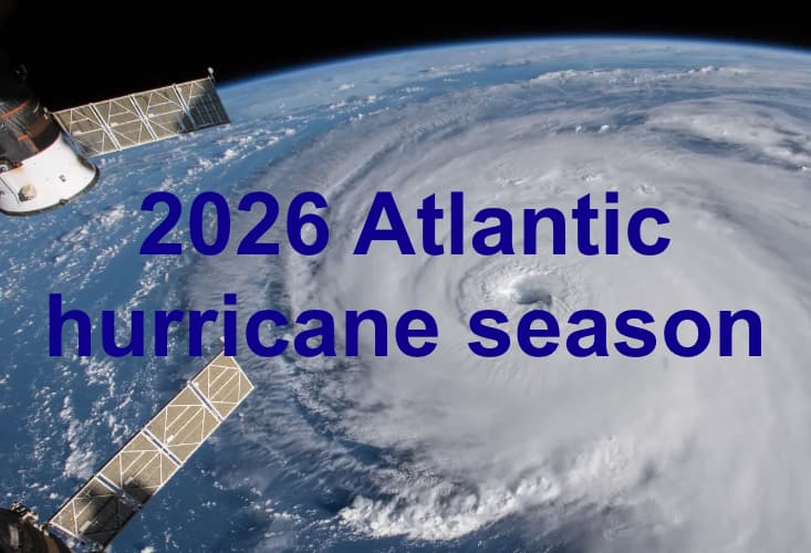 Recall that, in its April forecast, Tropical Storm Risk (TSR) lowered its previous long-range forecast to call for 12 named tropical storms, 5 hurricanes and just 1 major hurricane for the 2026 Atlantic hurricane season, with expected accumulated cyclone energy (ACE) of 66.
Then in its May update, TSR reduced its forecast numbers again, predicting 11 named storms, 4 hurricanes and 1 major hurricanes, with ACE of 55.
However, in the early July forecast update from TSR the numbers were raised slightly, to 11 named tropical storms, but with 5 becoming hurricanes and 2 becoming major hurricanes, while its forecast for the ACE Index was raised slightly to 67.
But, with the season passing and approaching its accepted peak, TSR now feels tropical conditions are less conducive to storm formation again, reducing the figures in today’s forecast update for the 2026 Atlantic hurricane season.
Today’s forecast numbers call for, 10 named tropical storms, 4 hurricanes and only 1 major hurricane this season, with an ACE Index at a lower 55, a reduction on all figures and this includes the two named storms seen so far (Arthur and Beryl).
The August forecast update sees TSR calling for Atlantic hurricane season activity levels to be well below the 1991-2020 30-year norm, which is 14 named tropical storms, 7 hurricanes and 4 major hurricanes, with ACE of 122.
The forecaster said, “The TSR (Tropical Storm Risk) August forecast update for North Atlantic hurricane activity in 2026 continues to anticipate a season with well below average activity. The forecast spans the period from 1st June to 30th November 2026 and employs data through to the end of July 2026. TSR uses the forecast August-September sea surface temperatures in the Atlantic Main Development Region (10º-20ºN, 60º-20ºW) and the forecast July-September trade wind anomaly over the region 7.5º-17.5ºN, 100º-30ºW as predictors. The former is forecast to be slightly warmer than average and the latter is predicted to be stronger than normal due to a strong El Niño expected to persist through the rest of summer and autumn 2026. TSR has lowered its forecast from early July due to conditions in the sub-tropical Atlantic looking less favourable than as appeared to be a month ago.”
On the ACE Index, TSR now says it sees a 0% probability of the 2026 season being in the upper tercile (>156)), a 26% likelihood of being in the middle tercile (75 to 156)) and a 74% chance of being lower tercile with ACE below 75.
TSR now forecasts 3 US landfalling named tropical storms and 1 landfalling US hurricane in the 2026 season, again below averages (both long and short term).
On sub-tropical Atlantic conditions, which are the cause of the reduced forecast numbers, TSR explained, “Conditions across much of the sub-tropical Atlantic (north of 25°N) look more favourable than within the tropics during August-October; however, the available seasonal dynamical models are now predicting less favourable conditions than they were during early July. There remains the potential for some tropical cyclone development within the Atlantic sub-tropics; however, we do not expect this to compensate for the very unfavourable conditions expected to be present across the tropical Atlantic and Carribean Sea.”
This is the final seasonal forecast update from TSR and comes on the heels of Colorado State Uni’s final seasonal update earlier this week, in which it stuck with a forecast of 9 named storms, 4 hurricanes and 1 major hurricane.
Incorporating the lowered TSR numbers, our average across the seasonal hurricane forecasts we’ve seen so far remains for 11 named storms, 5 hurricanes and 2 major hurricanes for the 2026 season in the Atlantic basin, below the longer-term and recent historical seasonal averages. But the average for ACE for the season has fallen slightly to 68.
Perhaps for the final time, given seasonal forecasters we follow have largely now issued their final numbers, we repeat our statement that it only requires a single major storm to make landfall in a region with high economic and insured values to drive significant impacts to the insurance, reinsurance, catastrophe bond and insurance-linked securities (ILS) markets.
The forecast numbers are directionally helpful, especially now well into the season and they perhaps become more helpful as the season progresses, but it is the development of any depressions and the conditions in the Atlantic and Gulf at that time which will continue to need closely watching as ever while the remaining months of potential tropical activity continue.
Read some articles on the value of seasonal hurricane forecasts:
– Cat bond portfolio construction more important than seasonal hurricane forecasts: Man Group.
– ILS investment outcomes about more than just hurricane season forecasts: Gibson, Schroders Capital.
– Adjusting ILS exposure for July hurricane forecast can deliver excess returns: Euler, TSR study.
 View all of our Artemis Live video interviews and subscribe to our podcast.
All of our Artemis Live insurance-linked securities (ILS), catastrophe bonds and reinsurance video content and video interviews can be accessed online.
Our Artemis Live podcast can be subscribed to using the typical podcast services providers, including Apple, Google, Spotify and more.