


Seasonal forecasts for tropical storm and hurricane activity issued at this time of year are often seen as needing to be taken with a large pinch of salt, but another early forecast from the ECMWF is seen as particularly aggressive and so worth highlighting, in calling for 17 named storms and 9 hurricanes in the Atlantic before the end of September 2024.
 The European Centre for Medium-Range Weather Forecasts, or ECMWF, runs one of the most highly respected meteorological forecast models and has one of the largest supercomputer data centres to run it on, so it deserves some attention.
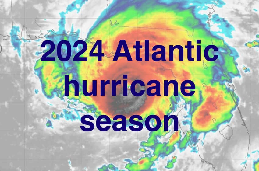
As we reported the other day, early long-range forecasts for the 2024 Atlantic hurricane season are calling for it to be particularly active.
The timing of a shift to La Niña conditions is seen as one of the critical factors for the 2024 hurricane season, as that could make conditions more conducive to storm formation and reduce the wind shear that hinders tropical storm development.
Another key factor for the 2024 hurricane season is the fact sea surface temperatures (SSTs) in the tropical Atlantic are already above average and in some cases well above, providing conditions that should see a ready supply of the fuel hurricanes require to form and intensify.
Finally, forecasts for steering currents also suggest that the United States could be more under threat this year than last, while the Gulf of Mexico is also highlighted as a potential hotspot for 2024 tropical storm activity.
The ECMWF provides a seasonal outlook for tropical storm activity in the Atlantic from April through the end of September and during that period the model ensemble average calls for around 17 named tropical storms, with 9 of them becoming hurricanes.
The ECMWF model forecast also suggests accumulated cyclone energy (ACE) levels 170% above normal, which would translate into ACE of 165 by the end of September, which would signal an active first few months of the 2024 hurricane season.
Experts point out that forecasts at this lead time tend to lack skill, as do the ones from December we had covered in our recent article.
But, for insurance, reinsurance and insurance-linked securities (ILS) market interests, it’s still important to watch the evolving forecasts, to be informed as to how conditions may turn out.
Of course, this is an industry where decisions on portfolio construction are rarely taken due to long-range forecasts, but as the hurricane season approaches, any suggestion of more hurricane threat for one part of the coast or another can influence investment decisions, especially in the cat bond market (for example with Florida specific or Gulf Coast specific risks).
Some are saying that this ECMWF forecast is the most aggressive it has ever issued this early on, but there is a lot that can happen meteorologically and climatologically before the season begins, as well as lot that can happen through it.
It’s important to remember that forecasts for significant storm and hurricane numbers, as well as high ACE levels, do not necessarily imply a loss heavy hurricane season for the insurance, reinsurance, catastrophe bond and ILS markets.
It is landfalls that matter and where those landfalls occur. Just one landfalling hurricane in a region of major coastal exposure values can cost the industry many billions.
The ECMWF seasonal guidance shows La Nina developing by mid-year, so that would suggest the final two months of October and November could also prove active, as La Nina could intensify as the year progresses. Which is something else to consider, alongside this aggressive forecast for the season to the end of September.
Some meteorologists believe the guidance at this stage suggests higher than normal rainfall across the Atlantic and Caribbean, which can indicate potential for tropical activity, while guidance is also said to suggest there could be a tendency for a more westward track of any storms that do form, rather than recurving.
Which, alongside the highest forecast ever delivered by an organisation like the ECMWF, should perhaps suggest that the industry needs to watch the coming forecast updates over the next few weeks very closely.
Track the 2024 Atlantic tropical storm and hurricane season on our dedicated page and we’ll update you as new information emerges.
![]() View all of our Artemis Live video interviews and subscribe to our podcast.
View all of our Artemis Live video interviews and subscribe to our podcast.
All of our Artemis Live insurance-linked securities (ILS), catastrophe bonds and reinsurance video content and video interviews can be accessed online.
Our Artemis Live podcast can be subscribed to using the typical podcast services providers, including Apple, Google, Spotify and more.


