




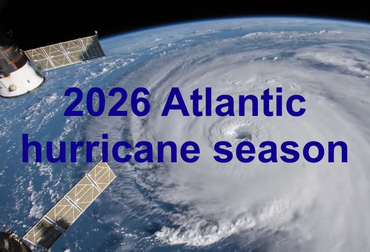
The Colorado State University (CSU) tropical meteorology team has now further reduced its seasonal forecast for the 2026 Atlantic hurricane season, citing the high-likelihood of a strong El Niño and the associated increase in vertical wind shear as the primary factor.
 Here, the Colorado State University (CSU) tropical meteorology team has differed from the update earlier today from Tropical Storm Risk (TSR).
The TSR team raised their seasonal forecast numbers by 1 hurricane and 1 major hurricane earlier this afternoon, saying there are “indications that the sub-tropical Atlantic may provide more favourable conditions for tropical cyclones.”
But the CSU forecast team remains focused on the expectation that this year’s El Niño will be particularly strong and so reduce and suppress Atlantic named storm and hurricane activity.
In the CSU team’s last update, the team called for 11 named tropical storms, 5 hurricanes and 2 major hurricanes this 2026 season, with a forecast for Accumulated Cyclone Energy (ACE) for the 2026 hurricane season at an Index value of 70, reducing all numbers since a May forecast.
Now, in the July 8th update, the CSU team is calling for seasonal numbers of 9 named storms, 4 hurricanes, just 1 major hurricane and a seasonal ACE Index value of only 50, lower still.
The CSU team explained, “We further reduce our 2026 Atlantic basin hurricane season forecast and now anticipate a well below-normal season. Moderate El Niño conditions are likely to intensify over the next few months, with a high potential for a strong El Niño for the peak of hurricane season. Sea surface temperatures across the Caribbean and tropical Atlantic are near their long-term averages. We anticipate the powerful El Niño being the dominant factor for the upcoming hurricane season, driving high levels of tropical Atlantic vertical wind shear.
“We are forecasting a well below-average probability for major hurricane landfalls along the continental United States coastline and in the Caribbean. As with all hurricane seasons, coastal residents are reminded that it only takes one hurricane making landfall to make it an active season. Thorough preparations should be made every season, regardless of predicted activity.”
The CSU team always gives some landfall probability figures in their forecast updates.
At the June update they were:
- 24% for the entire US coastline, down from 32% in the April forecast (below the 1880 to 2020 average of 43%).
- 11% for the U.S. East Coast including Peninsula Florida, down from 15% in the April forecast (south and east of Cedar Key, Florida) (the average is 21%).
- 14% for the Gulf Coast from the Florida Panhandle, down from 20% in the April forecast (west and north of Cedar Key, Florida) westward to Brownsville (the average is 27%).
- 26% probability for a major hurricane tracking through the Caribbean.
Now, as of the July 8th forecast update these metrics are:
- 17% for the entire US coastline.
- 8% for the U.S. East Coast including Peninsula Florida.
- 10% for the Gulf Coast from the Florida Panhandle.
- 19% probability for a major hurricane tracking through the Caribbean.
So all of those landfall probability figures have been reduced again.
Of course, with the season already more than one month through it is perhaps natural for numbers to reduce for some forecasters. It’s worth noting the forecast for 9 named tropical storms does include Arthur from June.
Phil Klotzbach, who leads the CSU team’s work, did mention a somewhat warmer than normal eastern subtropical Atlantic in his commentary on the new forecast, while the MDR has near-average sea surface temperatures.
Saying, “This pattern of Atlantic sea surface temperatures provides mixed signals regarding the potential for an above- or below-normal Atlantic hurricane season.”
The CSU forecast update does reduce our average across the seasonal hurricane forecasts we’ve seen so far, to now a 1 lower 11 named storms, bu the same 5 hurricanes and 2 major hurricanes for the 2026 season in the Atlantic basin, below the longer-term and recent historical seasonal averages. The average for ACE for the season has fallen by 5 with this update to 71.
Once again we state, it only requires a single major storm to make landfall in a region with high economic and insured values to drive significant impacts to the insurance, reinsurance, catastrophe bond and insurance-linked securities (ILS) markets.
As a result, while the forecast numbers can be directionally helpful, it is the development of any depressions and the conditions in the Atlantic and Gulf at the time, that will need closely watching as ever while the season progresses.
Read some articles on the value of seasonal hurricane forecasts:
– Cat bond portfolio construction more important than seasonal hurricane forecasts: Man Group.
– ILS investment outcomes about more than just hurricane season forecasts: Gibson, Schroders Capital.
– Adjusting ILS exposure for July hurricane forecast can deliver excess returns: Euler, TSR study.
 View all of our Artemis Live video interviews and subscribe to our podcast.
All of our Artemis Live insurance-linked securities (ILS), catastrophe bonds and reinsurance video content and video interviews can be accessed online.
Our Artemis Live podcast can be subscribed to using the typical podcast services providers, including Apple, Google, Spotify and more.