


The coming week is set to feature the first hurricane threat to Florida of the 2023 Atlantic hurricane season, as tropical storm Idalia is forecast to steadily intensify, move into the Gulf of Mexico and approach the Gulf coast of Florida as hurricane Idalia by Wednesday.
The insurance, reinsurance, catastrophe bond and insurance-linked securities (ILS) market will be watching the models and forecasts very closely as the latest is that depression 10 has developed into tropical storm Idalia and is forecast to become the hurricane Idalia that most models see as likely to be in the Gulf of Mexico by Tuesday.
There is strong forecast model consensus in tropical storm Idalia moving towards the Gulf of Mexico, then intensifying to become hurricane Idalia as it heads north and east over the warm waters, with the Gulf coast of Florida, or the Panhandle, forecast as the most likely destination for a landfall, at this time.
Intensity is even less certain than the direction eventual storm or hurricane Idalia takes, it appears, with models ranging from a strong tropical storm landfall to a hurricane, perhaps with winds of 90 mph to 100 mph, at the time of landfall, so the upper-end of hurricane Category 1 or lower-end of Category 2, on the Saffir-Simpson scale.
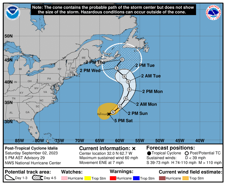
You can see the current location of tropical storm Idalia as well as the NHC forecast cone showing an expectation of it becoming hurricane Idalia, before it heads to a Florida landfall, below:
NOAA’s NHC stated, “The depression is forecast to strengthen during the next few days and could become a hurricane over the eastern Gulf of Mexico, bringing a potential of dangerous storm surge, heavy rainfall, and strong winds to portions of the west coast of Florida and the Florida Panhandle by the middle of this week. Heavy rainfall is also likely to spread into portions of the Southeast U.S. by mid to late week. Although it is too soon to specify the exact location and magnitude of these impacts, residents in these areas should monitor updates to the forecast of this system and ensure that they have their hurricane plan in place.”
Here also is Tomer Burg’s excellent map which shows wind speed forecasts in increments as well, using the NHC data:

The latest NHC advisory says that tropical storm Idalia is expected to be named later today, while hurricane Idalia is likely by Tuesday once the storm has moved into the eastern Gulf of Mexico.
There is quite a spread in the NHC forecast cone for future hurricane Idalia, from just north of Tampa Bay, around the Gulf coast of Florida, across the majority of the Panhandle, to Seaside area. Some other models show a stronger hurricane Idalia moving even further west towards the Alabama state border, but these are seen as outliers and dependent on the ability of hurricane Idalia to intensify over the warm Gulf of Mexico waters.
The Gulf of Mexico waters are exceptionally warm in some areas where hurricane Idalia is forecast to traverse, and you can see from the NOAA map below that there is plenty of 30 degree C plus water for any tropical storm or hurricane to feed on in the Gulf at this time.
The eventual intensity of tropical storm or hurricane Idalia will depend on how long it has to feed off those very warm Gulf waters. Hence the direction it takes towards Florida or the Gulf Coast matters, with a more northerly track towards the western Panhandle likely to result in the stronger forecast scenarios, while a track towards somewhere lower down the Florida west coast is likely to be a weaker scenario.
However, given how we’ve seen storms rapidly intensify over the Gulf of Mexico right up to their landfall in recent seasons, and given how warm the Gulf is in 2023, a stronger hurricane Idalia cannot be ruled out at this time.
NOAA’s forecast advisory suggests hurricane Idalia could have intensified to have peak sustained winds of roughly 92 mph on Tuesday 30th, with wind gusts forecast as reaching up to 115 mph.
That would still be a strong Category 1 hurricane, with Idalia intense enough to cause insurance market losses, with some potential impact to reinsurance positions, possibly to some private ILS or collateralized reinsurance layers.
Of course, the reinsurance and ILS market has shifted higher up the risk tower over the last year, meaning primary insurers would retain a much larger proportion of even a strong Category 1 hurricane landfall in Florida, than they would have just a few years ago.
Should hurricane Idalia manage to strengthen further over the warm Gulf of Mexico waters then the chances of a larger reinsurance market loss, with greater ramifications for the ILS and perhaps catastrophe bond market, increase in line with the more intense impacts and more significant property damage that would be expected.
On the intensity side, there are models showing Category 2, or even 3, hurricane force winds for Idalia, with the storm intensity expected to peak in the run up to landfall later Tuesday into Wednesday early morning, Florida time.
There is a significant spread in the main hurricane models over the eventual central pressure of hurricane Idalia as it nears the Florida coast, ranging from as low as 955mb, which would be a relatively intense storm and result in more significant insurance or reinsurance market losses, to the 975-990mb range, which would be less of an industry loss concern.
The coming days will see the uncertainty lessen and model spread reduce, but it is not until tropical storm Idalia is over the Gulf of Mexico and begins to intensify towards becoming hurricane Idalia, that we will get a clearer picture of the chances that a more intense storm landfall occurs.
All of which suggests the early part of the coming week will be very busy with hurricane model and forecast watching for the insurance, reinsurance, cat bond and ILS market.
Track storm or hurricane Idalia and the entire 2023 Atlantic tropical storm and hurricane season on our dedicated page and we’ll update you as new information emerges.
![]() View all of our Artemis Live video interviews and subscribe to our podcast.
View all of our Artemis Live video interviews and subscribe to our podcast.
All of our Artemis Live insurance-linked securities (ILS), catastrophe bonds and reinsurance video content and video interviews can be accessed online.
Our Artemis Live podcast can be subscribed to using the typical podcast services providers, including Apple, Google, Spotify and more.


