


Tropical storm Harvey has reformed in the Gulf of Mexico as a depression and is now expected to intensify on its track towards the Texas coastline, potentially reaching hurricane strength by landfall and with forecasts suggesting torrential rainfall will strike the region.
Update 24th Aug, 7.30 ET, 12.30 BST:
Tropical storm Harvey is now forecast to be a hurricane by landfall, as you can see from the NHC graphics further down this page.
The latest from the NHC puts Harvey’s sustained winds at 60mph with further strengthening anticipated and Harvey expected to be a hurricane by Friday. The minimum central pressure of the storm is dropping rapidly as well, now having reached 986mb.
Storm surge forecasts have risen, with now a 5 to 5 foot surge expected from Port Mansfield to San Luis Pass, with 2 to 4 feet expected more widely. Rainfall totals are now anticipated of up to 25 inches.
Meteorologists have highlighted that some forecast models even suggest hurricane Harvey could become a major storm by landfall in Texas. Below, two recent tweets from Ryan Maue of Weatherbell.
Tropical Storm #Harvey over very warm waters of Gulf of Mexico. Appears episode of rapid intensification underway. pic.twitter.com/NvYM9NUp0s
— Ryan Maue (@RyanMaue) August 24, 2017
HWRF 06z seems to be performing well for #Harvey intensity to this point. Expecting rapid intensification into hurricane, maybe major. pic.twitter.com/otEb7Vs6Pq
— Ryan Maue (@RyanMaue) August 24, 2017
RMS experts said that as of 11:00 UTC;
“Harvey is now a tropical storm and whilst lacking a defined eye, there is a center of circulation and the storm is looking increasingly more organized.
Conditions for further intensification are good: sea surface temperatures are high and a warm eddy has broken off from the Loop Current and is now located along Harvey’s projected path. Harvey is also expected to be in an area of low wind shear, and shear should remain low as it progresses towards Texas.
The likelihood that Harvey will strengthen is near 100 percent, according to the National Hurricane Center, and it is very possible that it will become a hurricane before landfall.”
Tom Sabbatelli, RMS hurricane risk expert, said:
“As of 11:00 UTC on 24 August, the forecasts, which RMS has been monitoring closely for several days, still show significant uncertainty about the intensity of Harvey at the time of its expected landfall in Texas. The consensus prognosis has alternated daily between it being a tropical storm or a category 1 hurricane at landfall.
But despite the uncertainty about Harvey’s wind intensity, it’s expected to move slowly towards Texas. And this slow movement increases the potential for significant rainfall and impactful storm surges – so those will be a focus of any RMS analysis of how Harvey could effect the industry, if it develops into a hurricane.”
Original article:
Tropical storm Harvey has travelled a long way, having initially formed off the west coast of Africa, then reached tropical storm strength as it approached the far southeastern Caribbean windward islands. Having tracked into the Caribbean Harvey then lost strength and the tropical storm dissipated before it reached Central America.
However, Harvey is a resilient storm and after the remnants of the depression crossed the Yucatan Peninsula and emerged over the warmer waters of the Gulf of Mexico, Harvey has regained its tropical status, currently as a depression, and now looks set to intensify further, with hurricane Harvey considered a possibility before landfall, making this a storm for insurance, reinsurance and ILS interests to watch.
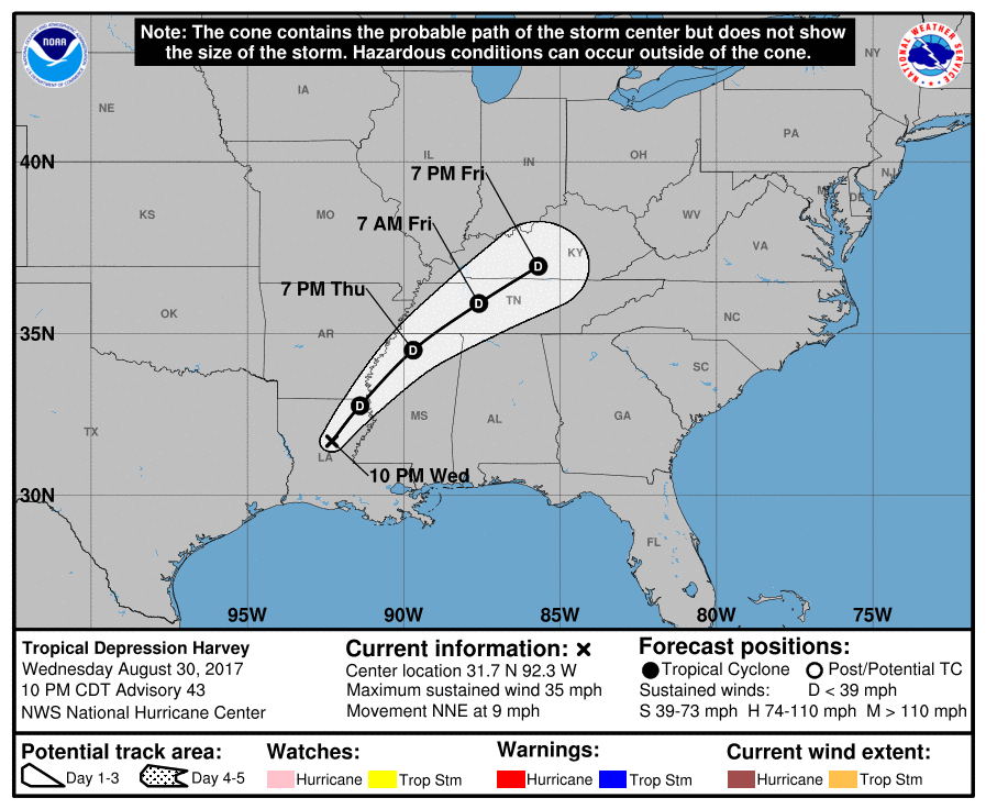
Storm (or hurricane) Harvey forecast track and path
Harvey is expected to be severe rainfall threat to the region, with flooding a possibility. The latest forecast suggests total rainfall in the region of 10 to 15 inches, with isolated amounts of 20 inches over the middle and upper Texas coast and southwest Louisiana through next Tuesday. More widely, rainfall totals of 3 to 9 inches is expected across portions of south, central, and northeast Texas and the rest of the lower Mississippi Valley.
The National Hurricane Center (NHC) says that this could result in “life-threatening flooding” and rainfall totals of this magnitude should not be taken lightly as they can pose a threat to lives and properties.
The NHC expects Harvey to intensify over the warm waters of the Gulf of Mexico, saying that “Harvey could become a hurricane on Friday.”
It’s important to note that Harvey is not a particularly well-formed storm at this time and there is considerable uncertainty regarding its ability to intensify, despite the warm Gulf waters. It should be clearer in the next 12 hours just how much chance of reaching hurricane strength Harvey has.
The more Harvey intensifies the greater the storm surge threat could become as well. Currently the NHC only calls for a storm surge between Port Mansfield and High Island on the Texas coast, but warns of water levels 4 to 6 feet above normal should landfall coincide with high tide.
That’s based on the current forecast, so if Harvey does become hurricane Harvey on Friday we should expect to see storm surge warnings in place for a much wider chunk of the Texas coastline with water levels likely even higher.
A hurricane watch is currently in effect for the Texas coast from North of Port Mansfield to San Luis Pass, while a tropical storm watch is in force for Boca De Catan Mexico to Port Mansfield Texas, and North of San Luis Pass to High Island.
As ever, flood exposures in Texas will largely be covered by the NFIP, reducing any potential for a hit to insurance and reinsurance markets if Harvey merely remains a rainmaker (albeit a very intense one).
It is if the winds pick up and Harvey becomes a hurricane that insurance, reinsurance and ILS or catastrophe bond interests will be on alert, with the Texas coastline featuring considerably exposure from wind and surge damage for collateralized reinsurance and ILS investors.
The latest forecast model guidance for Harvey’s wind speeds can be seen below, which suggest it will come very close to reaching Category 1 status by landfall.

Tropical storm Harvey wind speed intensity forecast - From TropicalTidbits.com
Track Harvey as the storm makes its way towards the Texas coastline over at our dedicated 2017 Atlantic hurricane season page.
![]() View all of our Artemis Live video interviews and subscribe to our podcast.
View all of our Artemis Live video interviews and subscribe to our podcast.
All of our Artemis Live insurance-linked securities (ILS), catastrophe bonds and reinsurance video content and video interviews can be accessed online.
Our Artemis Live podcast can be subscribed to using the typical podcast services providers, including Apple, Google, Spotify and more.


