


Latest hurricane Irma updates can be found in this new article. Major category 5 hurricane Irma is currently heading west across the Atlantic, with winds of 180 mph and a forecast that shows maintained intensity and a potential threat to the United States coastline by this weekend, including south Florida, but with some uncertainty in the exact path still.
Hurricane Irma has intensified into a category 5 storm, with sustained winds of 180 mph, higher gusts and a minimum central pressure of 921mb as at 06:00 UTC on September 7th. Irma has battered the northern Leeward Islands, passing directly over Barbuda and made a near pass to Antigua and other islands. Irmaalso struck the British Virgin Islands and the eye passed close to Puerto Rico, and is now en route to pass close to the Dominican Republich, the Bahamas and Cuba around Friday, before the current forecast shows a curve north towards the U.S. at southern Florida.
On the heels of Harvey, hurricane Irma will alert insurance, reinsurance, catastrophe bond and ILS market interests to the potential for a second landfalling hurricane event in quick succession, which could stimulate some trading and protection buying activity over the coming days.
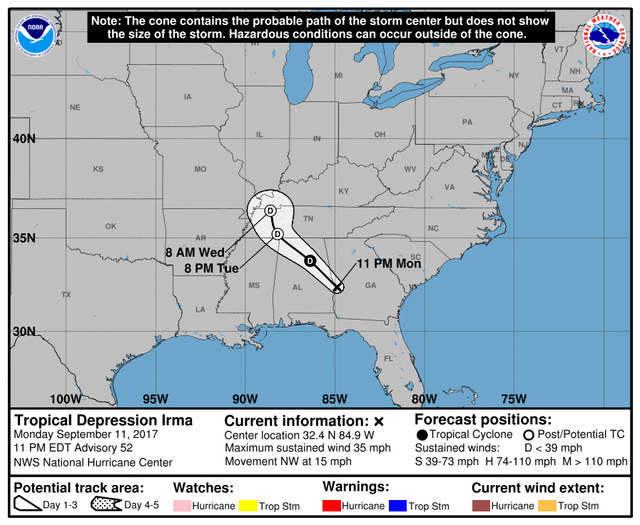
Hurricane Irma forecast cone, path and track from the NHC
The first concern wass the Leeward Islands and Puerto Rico, both of which faced a damaging and potentially deadly blow from major hurricane Irma. That could put some insurance and reinsurance interests at risk, including the CCRIF SPC which counts Anguilla, Antigua & Barbuda and St. Kitts & Nevis among its members.
Given that dangerous hurricane Irma has passed directly over Barbuda and Anguilla in recent hours, it is highly likely the parametric CCRIF SPC sovereign disaster insurance policies will pay out (it seems hard to imagine the parametric trigger escaping from such a powerful storm).
The forecast models show considerable uncertainty as to hurricane Irma’s eventual track once it nears the Bahamas and Cuba, with the storm expected to get picked up and steered northwards by troughs of higher pressure.
The uncertainty in the model runs is decreasing with each release, with a narrowing cone and a gradual shift west at first that put Irma’s track directly on Florida, making it impossible to discount a major hurricane landfall in southern Florida either around Sunday or Monday. However a shift back to the east has occurred on Wednesday, also raising the possibility that hurricane Irma grazes the Florida coastline (a Matthew repeat) or it could miss the peninsula altogether.
The GFS model runs seen below, via the Tropical Tidbits website, all show a landfall, ranging from the Gulf Coast, through southern Florida to the U.S. east coast. These have actually shifted back east at the latest run, with the average now showing a miss for Florida, but that could very easily change back further west.

Hurricane Irma GFS forecast models via TropicalTidbits.com
The shift in the forecast models and the widening of the cone, which had narrowed previously, could be due to the interaction with islands as that can cause some model variants to assume a different track for a hurricane. The uncertainty may lessen as hurricane Irma passes into more open water beyond the Turks & Caicos islands.
The forecast is for hurricane Irma to maintain a strong intensity, after its central pressure continued falling and wind speeds reached Cat 5, as well as for the storm to continue to grow in size as it progresses towards the Bahamas and Florida. If a Florida landfall occurs it is likely to be at Category 3 or higher, the data would suggest.
Hurricane Irma is growing into a very large storm with a wide wind swathe, which can mean even a near miss can be devastating for islands or coastline in its path. Hurricane-force winds extend outward up to 50 miles and tropical-storm-force winds up to 185 miles from the center of Irma.

Hurricane Irma intensity forecasts via TropicalTidbits.com
This weekend and the early part of next week the global reinsurance industry will be meeting in Monte Carlo for the annual Rendez-vous de Septembre event, where the industry traditionally begins its discussions as the key January renewal season approaches. Hurricane Irma coming so soon after Harvey could make this years event particularly interesting.
Hurricane Irma could trigger live-cat trading activity as it approaches the U.S., if the forecasts continue to show a landfall as increasingly likely. Given the industry has yet to fully comprehend the impact and loss from hurricane Harvey there will be many companies nervous about a second major hurricane landfall, which could push more protection buyers to come forward.
As well as live cat trading activity, hurricane Irma could also stimulate protection buyers to look for back-up covers or second-event protection, given this hurricane is coming so soon after the last multi-billion dollar industry loss event.
Some re/insurers may feel they lack protection in the wake of Harvey, with some of their programs perhaps expected to be eroded, potentially providing opportunities for those markets looking to underwrite peak cat risks on a live basis. This could be attractive for any ILS funds with cash sitting waiting for an investment opportunity.
A landfall from Irma as a major hurricane would without doubt further erode aggregate deductibles, on traditional reinsurance contracts, catastrophe bonds, collateralized reinsurance and private ILS arrangements. A severe landfall in a highly populated coastal region could cause major losses across the sector.
A second hurricane loss event could also push more of the bill into reinsurers sidecars and retrocessional arrangements as well.
For the catastrophe bond market, there is significant U.S. east coast exposure of course, from Florida all the way up the coast, meaning that as hurricane Irma approaches the secondary market could come to life, with investors and ILS funds looking to trade out of positions deemed most risky. But this is unlikely to be a major feature of the market until the middle of the week.
At this time the insurance, reinsurance and ILS investment community will be alert and on watch for hurricane Irma, as it’s still too early to know whether a major impact is a likely outcome, but the chances of a hit will get clearer with each passing day.
NOAA warns of a dangerous storm surge and potentially devastating winds for the Leeward Islands should hurricane Irma track directly across any. This storm poses a significant threat to lives at this stage.
We’ll continue to update you as hurricane Irma nears the U.S. and the forecasts become more certain.
You can track the hurricane season over at our dedicated page and all the graphics in this article will update automatically, so stay tuned.
Also read:
– Irma & Harvey losses combined may still just be an earnings event: Morgan Stanley.
– Citrus Re 2017 cat bond notes trade down 50% on hurricane Irma threat.
– Hurricane Irma live cat activity focused on $40bn+ loss, pricing uncertain.
– Hurricane Irma landfall in Florida would hit reinsurers hard: KBW.
– Hurricane Irma a potential U.S. (Florida) threat this weekend.
![]() View all of our Artemis Live video interviews and subscribe to our podcast.
View all of our Artemis Live video interviews and subscribe to our podcast.
All of our Artemis Live insurance-linked securities (ILS), catastrophe bonds and reinsurance video content and video interviews can be accessed online.
Our Artemis Live podcast can be subscribed to using the typical podcast services providers, including Apple, Google, Spotify and more.


